What Are You Looking For?
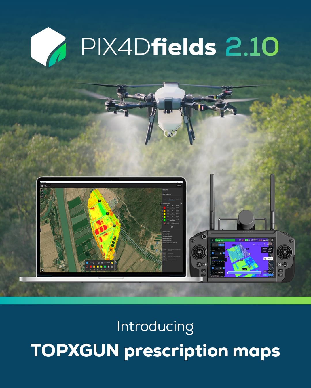
TopXGun is proud to announce our official integration with PIX4Dfields, the advanced agricultural mapping and analysis software by PIX4D. This collaboration is designed to streamline workflows and empower farmers with smarter, more precise spraying capabilities.
With the release of PIX4Dfields 2.10, users can now directly export prescription maps tailored for TopXGun agricultural drones. Simply select TopXGun from the export options when generating a variable rate or spot spraying map in PIX4Dfields. The exported files can then be imported into the TopXGun controller via SD card or USB, enabling seamless field operations.
This integration supports more efficient and targeted applications in the field, helping farmers save resources, boost yields, and simplify their precision spraying process.
Learn how to export prescription maps for TopXGun drones:
PIX4Dfields Integration Guide: https://support.pix4d.com/hc/topxgun-article-pix4dfields#exportfromfields
We're excited to make smart farming more accessible — and this is just the beginning.
Together with PIX4D, we look forward to driving more innovations for the global farming community through this ongoing collaboration.
